Current:
- 8. bis 10. November 2017: Gemeinsame Jahressitzung DGK, ÖGK, SGK
Geodesy comprises
- the measurment of the Earth and the registration of its dynamic alterations on the global, regional and local levels,
- the analysis, evaluation and visualization of the gathered data and the registered processes together with other space-related information,
- the development of strategies and concepts for sustainable spatial developments, as well as
- the support of space-related decision-making processes and their realization.
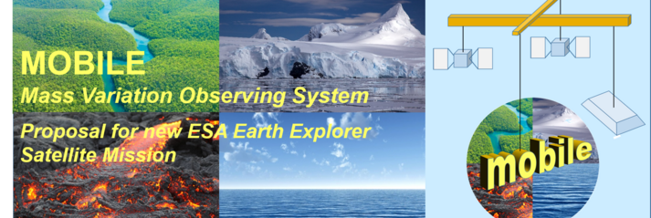
Global Geodesy

Artistic representation of the GRACE-FO Mission; the micro-wave distance measurement between the two satellites as determined by GRACE is shown (as the central beam), as well as newly developed laser interferometry (the two outer running beams). © Earth: NASA “Blue Marble”, satellites: Schütze/AEI
Land and Real Estate Management

As the activity-oriented component of regional development and property policy, Land and Real Estate Management includes all planning and development processes, as well as _valuator and regulatory measures, for the utilisation of surface areas and structural complexes.
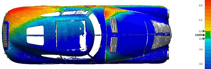
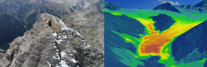
Engineering Geodesy

Engineering Geodesy is the discipline of recording, delineating and monitoring local and regional geometry-related phenomena, with particular attention to quality assessment, sensor systems and reference frames.
Geoinformatics

Geoinformatics deals the development and application of informational methods aiming on the modeling and registration, the exchange, the exploration, the analysis, the synthesis and appraisal od data relating space-time geo phenomena.
University Teaching

The Deparment University Teaching represents the interconnection between the four scientific depertments and university teaching in the sense of the entity of research and teaching. The Department Teaching treats the competences and qualifications of students of geodesy with regard to research and professional work in international context.